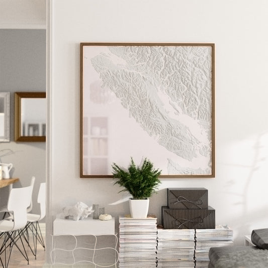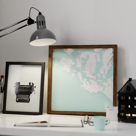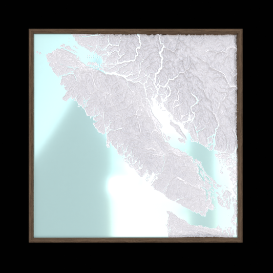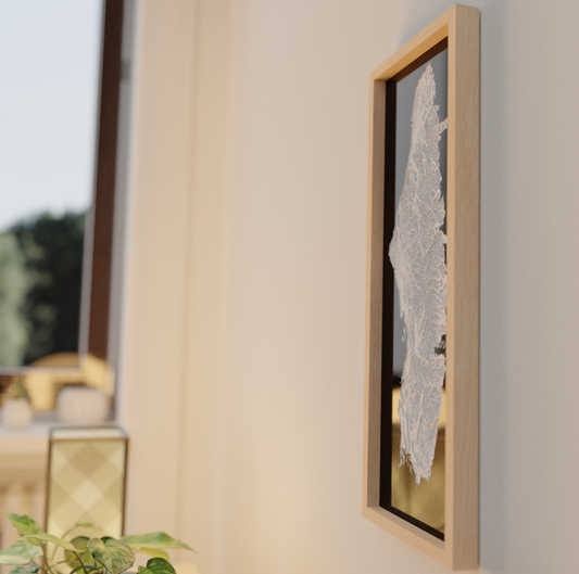
3D Topographic Maps
Bring the places you love home, in three dimensions.
Connect with your favourite landscapes in a brand new way - with every valley and mountain in pristine 3D.
The goods
-
Custom 3D Printed Map - Anywhere, Materialized
Regular price From $340.00Regular priceUnit price / per$0.00Sale price From $340.00 -
Tofino 16x16
Regular price $300.00Regular priceUnit price / per$0.00Sale price $300.00 -
Vancouver Island Series: 16x48
Regular price $960.00Regular priceUnit price / per$0.00Sale price $960.00 -
Vancouver Island Series: 32x32
Regular price $1,200.00Regular priceUnit price / per$0.00Sale price $1,200.00 -
Vancouver Island Series: 8x24
Regular price $240.00Regular priceUnit price / per$0.00Sale price $240.00
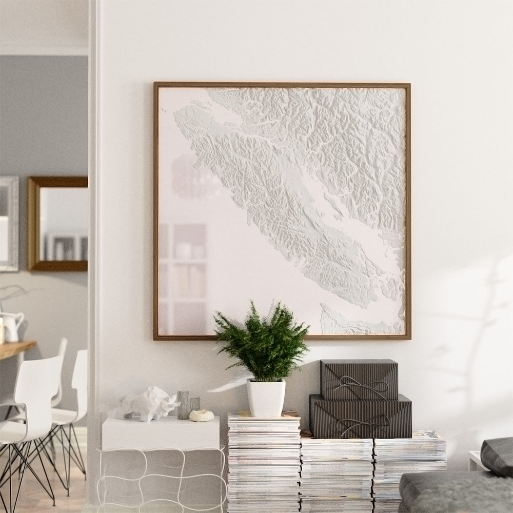
Share your love for your favourite places.
These aren't just a 'look-at' maps, they are 'talk-about' maps. 'This is where we climbed this weekend.' 'This is where we went surfing yesterday.' 'This is where I proposed.' These are the places you care about, in a brand new tactile format. They truly need to be seen in person.
Where Meets Why
3D printed topography invites you to see and feel the landscape in a new way — to know it more deeply. The depth creates new art with every change of the light - a dynamic interplay of light and shadow, a fractal narrative etched into each contour and valley.
Got 'Q's? Here's some 'A's.
What are these made of again?
What you're seeing—and touching—is a fusion of modern technology and traditional craftsmanship. At its core, each piece features a topographic map created through Fused Deposition Modeling (FDM) 3D printing. This allows us to capture Earth's terrain with astonishing detail, right down to the smallest ridge or valley.
Once printed, these panels are surrounded by a carefully poured layer of resin. This not only highlights the topography but also adds a touch of contrast to the piece.
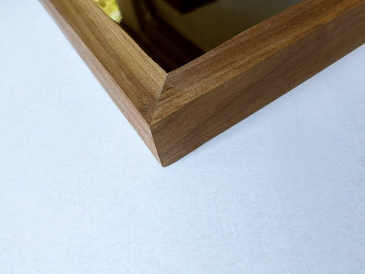
Finally, it's all framed in genuine hardwood—either walnut or maple—handcrafted right in our workshop. And because we're as committed to the planet as we are to our craft, we make sure to source our filaments from environmentally conscious providers. So when you bring one of our pieces into your home, you're not just making a stylistic statement; you're also making a responsible one.
Why the wait?
Our products have a lead time that starts at 2 weeks and increases depending on size. Why the wait? Because excellence takes time. At Kin Woodworks, we operate predominantly on an 'on-demand' basis, crafting each map only once it's ordered. You're not just buying an off-the-shelf item; you're commissioning a piece of art.
Each map requires tens of hours of precise 3D printing. After the panels are printed, we transition to the artisanal phase: preparing and assembling those panels, custom-crafting frames and backings in-house, and then meticulously pouring and curing the resin.
While the lead time might be a handful of weeks, what you receive is a lifetime keepsake. It's more than a map—it's a tangible expression of a place you hold dear, intricately crafted just for you. Every second spent in its creation is a second devoted to ensuring it's a piece you'll be proud to display for years to come.
Tell me about custom orders.
Why Go Custom? Because your story deserves to be told in a way that's uniquely you. Whether you're looking for an existing size or something entirely bespoke, we've got you covered. Once you place your custom order, we'll send you a specialized form to collect details about the location you want to showcase.
What sets our custom orders apart is the painstaking digital prep work that goes into each map. We're not just resizing; we're carefully processing the digital elevation data to ensure it will print correctly, and to make sure it's a perfect fit for your chosen dimensions.
To cap it off, we'll provide you with a photo-quality 3D rendering, giving you a crystal-clear picture of the final product before it even reaches your door.
The price for this meticulous process reflects not just the materials but the man-hours, the artistry, and the customization that goes into each piece. It's a one-of-a-kind creation, made just for you."
How Do I Hang My 3D Topographic Map?
Great question! We've made the installation process straightforward and secure. Each of our pieces comes with a robust metal cleat system designed to bear significant weight.
- Locate the Stud: For optimal stability, find a stud in your wall where you'd like to hang the map.
- Attach the Cleat: Secure the cleat to the stud using the provided screws.
- Hang the Map: Align the map's rear groove with the wall-mounted cleat, and gently lower it into place.
Not only does this metal cleat make for a safe and sturdy display, but it also allows your map to sit flush against the wall, enhancing its visual impact. Now, step back and enjoy your map's intricate details as they bring your chosen landscape to life.
Let us know if you have any more questions!
Who are you, anyways?
We are two brothers living in Victoria, BC, each with our own family but sharing a lifelong love for making things. Sometimes, those things capture the imaginations of others, and that's how Kin Woodworks was born. Our journey began with random tinkering in the garage, spanning everything from home decor to cnc machines. But when we dove into the world of 3D-printed topographic maps, we struck a chord that resonated not just with us, but with everyone who saw them.
When we aren't meticulously sanding and assembling 3D prints or mapping out new geographic wonders, you'll find us embracing the very terrains we replicate. Whether it's surfing off the coast, or hiking through the lush forests, we're always on the lookout for the next detail, the next contour line to capture.
What drives us is the belief that geography isn't just about locations—it's about stories, memories, and a sense of place. Our maps aren't just objects; they're experiences waiting to unfold, a new way to connect to the places you love or dream to explore.
How did this start?
It started with a problem—a blank wall and an absence of meaningful art to fill it. After scouring the internet for something that felt right, all we found were beautiful yet impersonal pieces. That's when we decided to create our own 3D printed map, designed specifically for our blank canvas.
The first map was a labor of love and a lesson in humility. From adjusting for Earth's curvature to finetuning printer settings and piecing together smaller prints into a larger format, each step was fraught with challenges. Mistakes were made, lessons learned, and countless revisions followed. That first map took hundreds of hours to bring to life, but it was worth every minute.
Eventually, a path became clear. Through trial and error, we honed our craft and streamlined our process. And so, the maps you see on this site were born—not out of ease, but out of a desire to make geography personal, tactile, and deeply meaningful.
Today, we're thrilled to offer you more than just a map. We offer you a piece of art that tells a story—the story of a place, and quite possibly, your story. Welcome to the next chapter.


